
Town of Colonie Neighbor Sources
The useful record for a Town of Colonie block depends on the question. The public GIS shows parcel geometry and selected ownership or mailing fields. The assessment roll adds the roll's parcel facts. A recorded deed can date an ownership change, while older directory material may describe an address in a particular year. The state voter tool is an individual identity-and-district search, not a map of everyone nearby. Community organizations can offer a proper contact route, but the research found no public current HOA or all-neighborhood membership directory. Keep each source in its lane.
| Block source | Signal it provides | Colonie access route |
|---|---|---|
| GIS parcel polygons | Edges, street frontage, print keys, owner and mailing fields | Free Town map and REST parcel layers |
| Assessment roll | Parcel-by-parcel owner and assessed or taxable facts | Annual roll, Image Mate, or assessor |
| Recorded deed index | Recorded parties and ownership-change clues | SearchIQS, then Hall of Records for older material |
| Voter lookup or file | One matching registration, or a permitted election-purpose file | State lookup or Board of Elections FOIL channel |
| Street guide or directory | Historic address and occupant clue for a given year | Albany Public Library, Hall, or NYSL microfilm |
| Civic and history contacts | Local-history or neighborhood-watch contact route | Police Community Services, Historian, and regional groups |
Owner and mailing fields are not an occupant roster. A parcel can be held by an entity, a trust, or a person with a different correspondence address. A commercial parcel is an especially clear reminder that a mapped address and the owner's mailing address have separate meanings. Treat an empty or sparse village-layer row as a source difference, not a reason to substitute unverified information.
Note: A parcel line supports a property-record association, not a full account of the people connected with a street address.
Town of Colonie Parcel Edges
The immediate-block method begins with a parcel, then reads the polygons sharing an edge or street frontage. Town of Colonie GIS exposes separate layers for the Town, Village of Colonie, and Village of Menands. A road crossing one of those jurisdictions can shift to a thinner layer, so record the layer name with the parcel facts. The print key and SBL are the most useful handoff values. A print key is the town's punctuation-sensitive parcel identifier, while an SBL identifies section, block, and lot. They are better bridge values than a street name alone.
Address to block flow: exact address → selected GIS parcel → shared-edge parcels → print key or SBL → assessment roll and deed index → dated block record.
- Locate the exact address in the Town GIS layer and save the map date, address as displayed, and the layer used.
- Inspect each adjoining polygon and copy its print key or SBL, parcel address, owner field, mailing field, neighborhood, school, and any sale date shown.
- Compare the result with the annual assessment roll or Image Mate card, without treating a mailing address as proof of occupancy.
- Use the deed book and page or legal description to check a recorded ownership change. For a full named-street chain, use the Town of Colonie street directory method.
Repeat only through the immediate block. The public service supports spatial filtering and has a maximum selection of 2,000 records, so a wide town export should be narrowed by layer, street, or result limit. Preserve blank fields as blank in public GIS, then move to the assessment roll instead of filling them from a secondary source.
Town of Colonie GIS Block Method
The map layer is the spatial tool in a neighbor search. Its public fields can include PROP_ADDR or GISAddress, PRINT_KEY, SBL, DEED_BOOK, DEED_PAGE, ROLL_YEAR, OWNER1, mailing fields, acreage, property class, school, neighborhood, sale date, and sale price. The first group identifies and locates a parcel; the rest support a dated record check. The Town says its map material is compiled for assessment and public-record purposes and is not guaranteed accurate. A deed, annual roll, or clerk record is the confirmation route when a field matters.
The Town of Colonie parcel layer is the source shown below. It supports the adjacent-parcel view used for an immediate-block comparison.
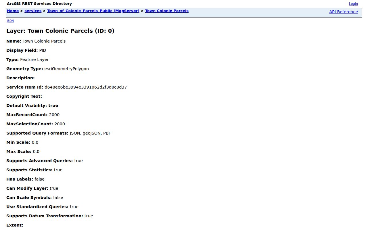
Read a polygon's edges first, then record the parcel key and source date before opening a different index. The map identifies parcels; it does not name every person connected with one.
Note: Situs address identifies the mapped parcel, while the mailing fields show tax correspondence and may point somewhere else.
Town of Colonie Voter Record Limits
New York's voter lookup is useful only for a named person when the required identity details are available. It asks for last name, first name, date of birth, county, address information, and ZIP Code. Albany County is the required county selection for a Town of Colonie address. The landing page did not expose a complete result screen during research, so it is not safe to promise fields beyond the documented form. A non-match may reflect a spelling error, move, protected record, inactive or cancelled status, or no registration. It is never proof that a person did not live at the parcel.
| Lookup field | Documented use or limit |
|---|---|
| Last and first name | Required paired identity fields. |
| Date of birth | Required in MM/DD/YYYY format. |
| County | Required selection; use Albany for Colonie. |
| Address information | Required residence information for the lookup. |
| ZIP Code | Marked required when displayed with the form. |
| Mail Ballot Tracker or Poll Site Search | Separate tasks on the same state landing page. |
Election Law Sections 3-103(5) and 3-220 limit voter-file use and protect identifiers. Broader statewide voter-file access requires a FOIL request with an elections-purpose statement; it is not a public block roster. Albany County Board of Elections can address local inspection, correction, and protected-voter questions. Aggregate, non-personal election data is public through the state's Flateau database, but it should not be used to infer the people on a block.
Town of Colonie Community Contacts
Community sources add context, not a list of private members. Colonie Police Community Services assists neighborhood groups with watch programs, security surveys, and gatherings, yet it does not publish a roster. The historical record includes the Boght Community Action Group in an official 1989 town appendix for the Boght Road and Columbia Street area. That makes it a local-history lead, not evidence that a current group or contact list exists. The research did not locate an official, current directory for all Colonie HOAs or civic associations.
Police Community Services
Neighborhood-watch and civic contact route. Phone: 518-782-2662. No membership directory is published.
Historical Society
The Historical Society of the Town of Colonie preserves local material and historic places. Town Historian Kevin Franklin: 518-782-2601.
History Collaborative
Regional organization and archive network that includes Colonie and nearby historical groups. It is an organization finder, not a person index.
The Albany County History Collaborative organizations directory identifies the Historical Society of the Town of Colonie within that regional network.
Use an organization contact to ask about a named road, approximate date, or local-history subject. Do not request an unbounded membership list or assume that one exists.
Note: Historical and civic contacts can point to local materials, but they do not establish a current block list.
Town of Colonie Neighborhood History
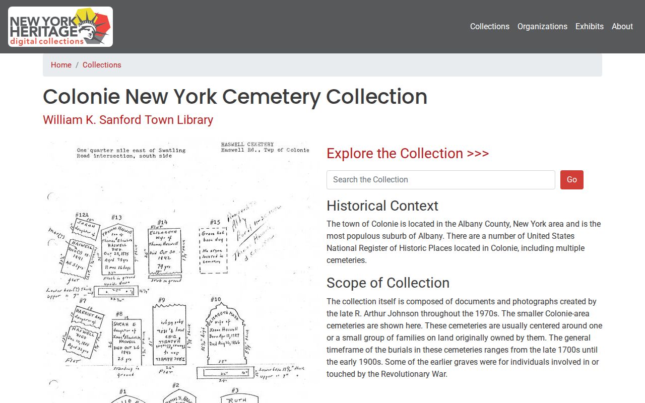
Historic block research works best after the current parcel table is complete. Sanford Town Library and the Town Historian created the Colonie NY Cemetery Collection from material dating roughly from 1700 to 1950. It contains smaller family cemeteries, photographs, and records assembled in the 1970s, with some burials reaching the Revolutionary era. The collection can connect a former family name, cemetery, or date to a locality when the property trail ends. It does not prove that a person lived at an adjoining parcel.
The Colonie NY Cemetery Collection at New York Heritage is the digitized source shown here.
For the built setting, the 1935 Sanborn volume includes parts of Town of Colonie, Loudonville, Menands, and West Albany. It can date building form and use, while a directory or census is needed for an address-based person clue.
Town of Colonie Neighbor Tool Comparison
Official block records and commercial neighbor-finder products serve different purposes. The parcel method keeps the map date, source layer, owner field, mailing field, and parcel identifier attached to each claim. A compiled commercial product may combine old addresses, marketing records, and adjacent parcels, but it can merge similar names, omit non-owner occupants, and retain stale information. The official record should remain the source to verify, correct, or explain a field.
| Official parcel-and-record route | Compiled commercial category |
|---|---|
| Shows the field's custodian, mapped parcel, record date, and jurisdiction. | May combine source data without making the origin or date clear. |
| Supports a targeted GIS, assessment, deed, or clerk follow-up. | Can associate old addresses and adjacent parcels with the wrong person. |
| Leaves blank or protected facts unfilled. | May imply a complete person or household picture where the source does not. |
A reproducible table needs only the map date, address as shown, layer, print key or SBL, owner and mailing fields, property class, school or neighborhood field when present, and sale data when populated. Avoid copying every building detail or publishing more personal information than the block question requires.
Town of Colonie Neighbor Privacy Limits
Some facts about a block are not public, even when parcel geometry is visible. Non-owner occupants, ordinary family relationships, utilities, deliveries, DMV records, sealed court matters, and protected addresses do not become public through a map. The New York Address Confidentiality Program uses substitute addresses for qualifying participants and protects actual addresses through authorized channels. Protected voters also must not be reverse-engineered from nearby records. A public row should be treated as a dated record association, not a complete description of the people around an address.
Lawful use. Use Town of Colonie neighbor records for civic curiosity, local history, reconnection, property context, or personal safety awareness. Using addresses or records to watch, threaten, harass, or intimidate another person can violate New York law.
For a wrong field, contact the custodian and cite the parcel key, record date, and exact correction sought. Use a targeted FOIL request for accessible administrative material when the web route fails, but FOIL cannot require release of protected voter, vital, court, DMV, or ACP information.