
Town of Colonie ZIP Code Directory Areas
The Town of Colonie ZIP code directory is a service-area index, not a municipal count. Albany County's Civil Office mileage table identifies eight nearby ZIPs as local Colonie-area geography. Each can be a useful first filter, but a record still needs its situs, mailing label, and legal municipality checked. The town includes Village of Colonie and Village of Menands layers, while postal delivery can use a city or hamlet name from outside the town.
| ZIP | Areas Covered | Post Office | Notes |
|---|---|---|---|
| 12047 | Cohoes and North Colonie area | Cohoes/Latham-area delivery | Postal and municipal boundaries differ |
| 12110 | Latham | Latham Post Office | Confirm the address with USPS before using the label |
| 12128 | Newtonville | Newtonville station | Nearby station is listed in Latham; retain the printed label |
| 12189 | Watervliet | Watervliet/Green Island side | Verify boundary-side addresses with USPS and GIS |
| 12204 | Albany/Menands | Not specified in the county table | May include addresses in or near Village of Menands |
| 12205 | Colonie | Not specified in the county table | Core Colonie label, not a legal town boundary |
| 12211 | Loudonville | Loudonville station | Town Library is in this postal area |
| 12309 | Schenectady/Colonie | Not specified in the county table | Boundary mismatch needs special attention in address work |
The Latham Post Office is listed at 685 Watervliet Shaker Road, Latham, NY 12110-9998, with phone 518-785-6341. The Loudonville station is listed at Kimberly Square, 475 Albany Shaker Road, Suite 9, Loudonville, NY 12211-9900. These locations support delivery questions, not a claim that every address in the listed ZIP falls in the Town of Colonie.
Town of Colonie ZIP Postal Labels
Postal labels are a recurring Colonie research quirk. A parcel may carry Latham, Loudonville, Albany, Cohoes, Watervliet, Menands, or Schenectady in its mailing or delivery information while its legal parcel lies in the Town. A situs address is the mapped property location. A mailing address is where tax correspondence is sent. A USPS preferred city is a delivery label. None of those fields should be silently substituted for the others. The Census ZCTA guidance explains why a postal ZIP and a mapped statistical area need separate treatment.
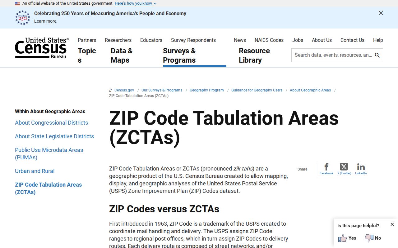
The Census explains that ZIP Code Tabulation Areas are generalized statistical approximations, not the same thing as USPS delivery routes. Use a Census ZCTA map for broad context only. For a real address, retain the USPS result and then use the Town GIS parcel layer to establish the municipality and parcel relationship. This prevents a familiar postal city from being mistaken for the legal jurisdiction.
Town of Colonie USPS ZIP Checks
USPS ZIP Code Lookup is the authoritative delivery-format check. Its By Address mode requires Street Address, City, and State, while Company and apartment or suite information are optional and the ZIP may be supplied if known. By City and State requires those two fields; Cities by ZIP requires the ZIP. Save the standardized response exactly as returned before comparing it with a town or county source.
USPS warns that a returned ZIP does not confirm that a named person or company is present at the address. That limit is useful. A delivery answer verifies an address format, while a parcel record, deed, or directory provides a different kind of evidence. The Latham office hours observed during research were weekday 8:00 a.m. to 5:45 p.m. and Saturday 8:30 a.m. to 2:00 p.m.; recheck hours before visiting.
Finding Town of Colonie Residents by ZIP
Use a ZIP to narrow a known person or property task, not to create a bulk roster. The GIS service can expose a parcel's mailing ZIP alongside its situs address, and the state voter lookup uses ZIP as one of several identity and residence fields. Image Mate advertises mailing-address capabilities in its enhanced tier, but its exact public ZIP filter was not visible during research. The town tax-bill screen accepts a property address, tax-map number, or bill number rather than a dedicated ZIP field.
- Run the address through USPS By Address and save the standardized city, state, and ZIP response.
- Check the address in the Town GIS and record the parcel layer, print key or SBL, situs address, and mailing field separately.
- For a named registered voter, use the state lookup with the required name, birth date, Albany County, address information, and ZIP.
- Use a ZIP-capable state license search only for the public professional or business purpose that applies, and keep its location type distinct from a home address.
- After the postal area is narrowed to a road, continue with the Town of Colonie street directory for the address-keyed record trail.
A ZIP-wide GIS query can return many parcel rows, so narrow it by municipality or layer, street, and result limit. It is not an official list of everyone living in a ZIP. The Town parcel layers have a 2,000-record maximum, and a street crossing a village can appear in a thinner village layer instead of the Town layer.
Town of Colonie ZIP Fields in Records
The New York State voter lookup is a narrow identity-and-district service, not a browse screen. Its inspected landing page asks for a last name, first name, date of birth, county, address information, and ZIP. Required fields are marked on the page, but the complete match-result display was not captured during research, so the result fields should not be assumed.
| Lookup field | Input type | Required status | Verified use |
|---|---|---|---|
| Last Name | Text | Yes | Paired with first name for the lookup |
| First Name | Text | Yes | Paired with surname |
| Date of Birth | Date or text | Yes | MM/DD/YYYY format |
| County | Dropdown | Yes | Select Albany for a Town of Colonie search |
| Address Information | Address controls | Yes | Used to locate the district or poll site |
| ZIP Code | Text | Required when shown | Postal ZIP associated with the registration address |
Election Law sections 3-103(5) and 3-220 limit voter-file access and uses. The Albany County Board of Elections can handle address corrections, inspection appointments, protected-voter procedures, and local file questions. A non-match may reflect a spelling change, address change, inactive or cancelled status, protected record, or no registration. It does not establish that a person never lived at an address.
Town of Colonie ZIP Boundary Limits
Town lines, Census geography, parcel layers, and postal routes answer different questions. The County ZIP map labels overlapping communities such as Colonie, Latham, Loudonville, Watervliet/Green Island, Cohoes/North Colonie, and Albany/Menands. Use it to orient a search, then use USPS for delivery format and GIS for the legal parcel setting. A historic document may still need its original postal city searched in a directory or newspaper.
- ZIP and ZIP+4
- A five-digit ZIP identifies a broader delivery area. ZIP+4 adds delivery detail but does not define a municipal boundary.
- PO box ZIP
- A ZIP used for post-office boxes rather than a neighborhood delivery area. No such Colonie designation was confirmed in the research.
- Unique ZIP
- A ZIP associated with one large organization or institution. It is a postal designation, not proof of the organization’s municipal jurisdiction.
- Carrier route
- A postal delivery grouping. It can help explain delivery service but is not a parcel or resident-record boundary.
Note: A ZCTA is useful for broad statistics, while USPS determines the delivery ZIP returned for a specific address.
Town of Colonie Situs and Mailing Fields
Town of Colonie GIS separates `PROP_ADDR` or `GISAddress` from `MAIL_1ADDR`, `MAIL_CITY`, `MAIL_STATE`, and `MAIL_ZIP`. It also exposes print key, SBL, deed book and page, roll year, owner fields, sale fields, neighborhood, and building descriptors in the Town layer. The Village of Colonie layer is thinner, which is a source difference rather than evidence of a missing person.
Image Mate supplies the assessment-card side of the property system. Basic parcel and assessment access is advertised as free; the enhanced tier is advertised at $75 annually and can include mailing-address and historical property-card material. The inspected public page did not expose its exact parcel or ZIP search fields. Confirm critical GIS or assessment details against the primary recorded document, because the town's assessing disclaimer does not guarantee accuracy.
Keep four forms in an address note: the GIS or assessment situs address, tax mailing address, USPS standardized address, and deed legal description. The SBL or print key and legal description often survive a street abbreviation or changed postal label.
ZIP History Evidence Gap
No official source was located for a specific Colonie ZIP split or realignment year. Do not invent one from a modern map. For a historic address, search the printed label found in the record, then test Albany, Latham, Loudonville, Cohoes, or Schenectady as alternate place names. An older directory, newspaper, and parcel description can show why a present delivery label does not match a historic search result.
Town of Colonie covers roughly 56 to 57 square miles and many named places rather than one downtown. That scale is why a postal code is a useful starting filter, but never the final decision on jurisdiction or a person record. If a search fails, retain the original road spelling, postal label, and parcel key before trying an alternate place name.